Planner
Toneisha Williams

years
working in planning

Master of
Urban Planning

sea kayaking
enthusiast
I work in such a unique environment with rich and diverse geology.
My role
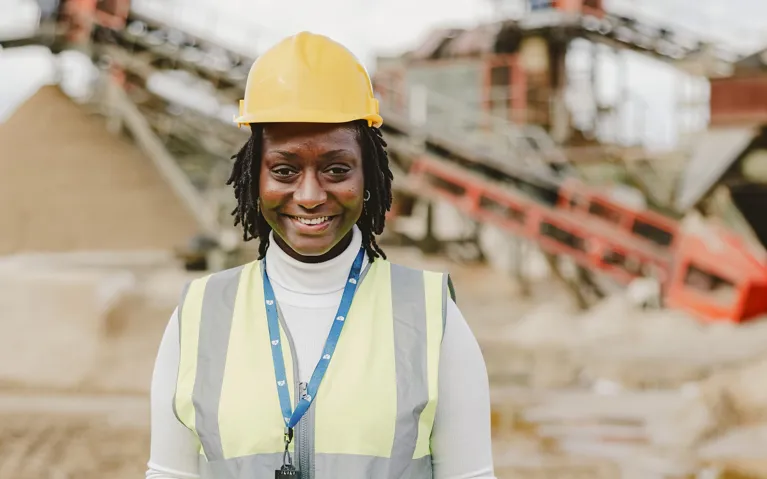
Where do you work?
I work for Dorset Council as a Monitoring and Enforcement Officer in the Minerals and Waste Planning Team. I have been provided with the opportunity to work and broaden my experience in such a unique environment with rich and diverse geology, a variety of waste management technologies, as well as environmentally sensitive areas including those of Outstanding Natural Beauty.

Route into planning
Tell us about your route into planning
I chose Geography, Media, Art, and Mathematics for A-Level subjects; however, I did not gain enough UCAS points to enrol straight onto a degree course at University of the West of England (UWE). So, I applied for the Built and Natural Environments Foundation Year at UWE which gave me an introduction to the built and natural environments and the key political, social and economic factors that influence how a modern society utilises them.
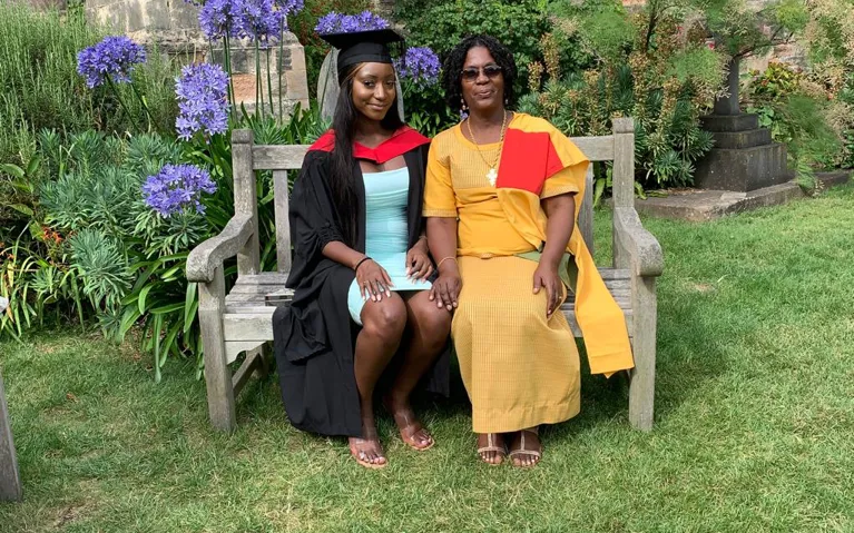
This was followed by the Master of Urban Planning (MPlan) degree course –a dual accredited Master of Planning degree. The course involved examining the historical issues shaping our environment and the circumstances, challenges and opportunities in the world today; as well as the development process and the organisations, communities and settings involved ensuring that plans and projects are effectively delivered. Thank you, Nick Smith, Associate Head of Department (Geography and Planning) for supporting me through this!
Helping the public
How does your role involve helping the public?
I am responsible for monitoring operations on minerals and waste sites to assess compliance with planning permissions, secure high standards, protect amenity, and the environment. I advise and liaise with elected members and officers of the Council, developers, outside bodies and the community at large about planning monitoring and enforcement matters that affect local amenity.

My community
Tell us about any work you’ve done to help your local community
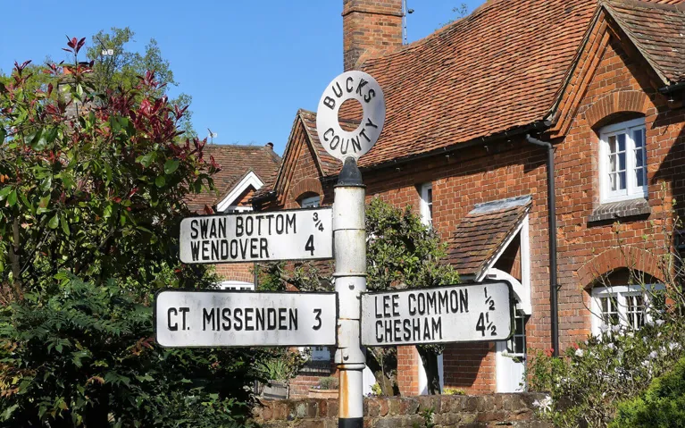
During university I undertook a work placement at Chiltern District Council, Chiltern and South Bucks District Councils announced their programme to develop shared services and a new local plan was required.
I generated accurate layers using GIS to highlight key land constraints and designations (including the Chilterns Area of Outstanding Natural Beauty, Green Belt, Burnham Beeches Special Area of Conservation, Colne Valley Regional Park, areas subject to flood risk and heritage and wildlife assets) across 29 towns and parishes on District Maps from outdated local plans.
I used multiple GIS systems such as Magic, Land Integrated Systems, and the Government Flood Map. This work contributed to the Chiltern and South Bucks Local Plan 2036, which was submitted for examination in September 2019.
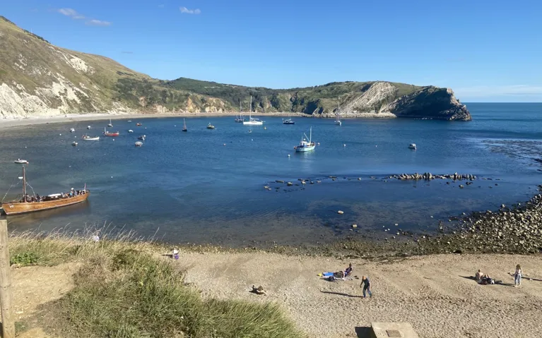
Your spare time
What do you do when you are not planning?
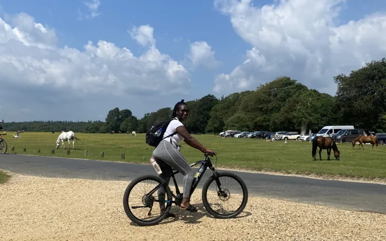
I relocated from London to Dorset for my current role, so it gave me ample opportunity to develop hobbies out of my comfort zone! These hobbies include hiking, sea kayaking, camping, cycling amongst an awe-inspiring natural backdrop of clifftops, woodland, beaches, valleys, and hills.